We’ve just completed our 3rd round of #EnvironmentalDataDiscovery trails. This trail focused on borehole information and ran 25th – 28th August & 5th – 8th September 2021. It comprised 5 questions to explore the British Geological Survey’s (BGS) online Onshore GeoIndex. Participants started exploring the map view data before looking into the borehole records in detail. The comments have helped indicate what functionality is instinctive and where additional user information is required to help data navigation. Comments about the search tools were also of great value to understand was data users find most helpful to locate the information they require. BGS were pleased to hear “the look and feel is more intuitive than many other applications in the public sector” when obtaining feedback on their mapping utility. While the Digital Environment network members liked the suggestion to use the quiz as “a good way of introducing people to the portal and the tools on offer, as it brought it all to life”.

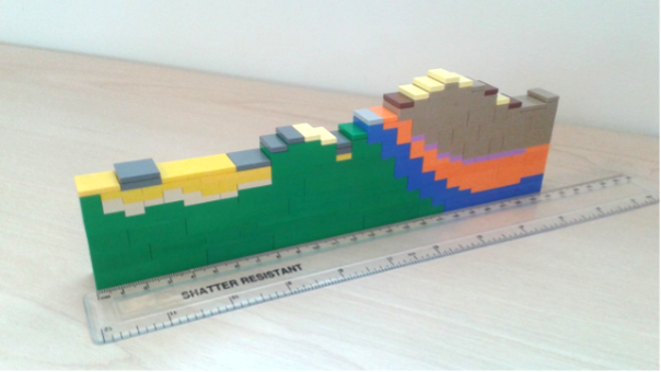
This time our focus on a single data deposit reduced the time required to complete the quiz to between 20-50 minutes, depending how much digging you wanted to do. Again, there were rewards for those that submitted feedback. Exclusive NERC water bottles and Lego London Geological Cross-section kits were on offer this time.

Promotion of the trial increased web traffic to the NERC Digital Environment pages with 81 views of the quiz and 14 people submitting feedback on the environmental data explored. Many of the participants were from end-user groups this time with clear geological backgrounds rather than the general public. We were pleased to see some more overseas entries again during this quiz. Here’s some of the key information captured in the feedback provided:

Our participation numbers might have been a little lower this time, but we’ve been told that in a lot of UX observation tasks you find that the first 4 or 5 people tend to demonstrate the majority of the issues with a system. Looking at the first 4 submissions they did seem to contain the good level of detail to really help BGS understand the user journey.
To date we have received over 500 new views of the previous Environmental Data Discovery Trails – “From the river catchment to deep ocean” and “From present to past meteorology around the globe”. These remain available as a resource, although we are no longer actively collecting feedback.
We continue to learn from our participants and next time we’ll avoid school holidays. With the return to work, school and travel this summer it looks like participation occurs during a break on a “school” day between 10am and 5pm, especially on a Friday afternoon. Previously people were looking for activities in the evenings and weekends during covid-19 restrictions.
Participants still had the option to tell us if a question was taking too long and skip to the next one. That type of information helps us identify where web navigation and data accessibility needs to be improved.
If you missed out this time, not to worry there will be more trails in the winter with opportunities to win a NERC water bottle or maybe £100. Keep an eye on our website (https://digitalenvironment.org/data-trails/) or opt in for an email alert when a quiz goes live (https://noc-events.co.uk/environmental-data-discovery-trails-opt-form).
The ‘Going Underground’ trail has also been archived as a resource for you to use at any time.